 The New York State Thruway Authority, Tappan Zee Constructors, LLC (TZC) and the U.S. Coast Guard have worked together to establish a safe channel for recreational boaters looking to access Piermont’s popular waterfront. The newly-marked channel is part of the New NY Bridge project team’s ongoing efforts to enhance boater safety in and around the construction area.
Working with village officials and marina owners, the team established a route from Piermont to the river’s main channel that avoids the project’s very active construction zone.
The route is located just north of the Piermont Pier and is marked by six signed, painted and lit pilings.
The Piermont markers are just the latest in a series of boater safety measures already in place.
Proposed in March 2014, a Safety Zone now surrounds 16 mooring locations on the project site, banning unauthorized vessels from entering for their own well-being. The boundaries of this zone are marked with orange and white buoys, and regulated by the U.S. Coast Guard.
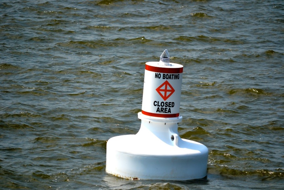
Six of these orange and white buoys mark the boundaries of the Safety Zone.
Surrounding the Safety Zone, and the existing bridge, are two Regulated Navigation Areas, or RNAs. These areas are patrolled regularly, and have a strict policy of transit: speed no greater than five knots, and no wake. Should boaters decide to transit the area, the Coast Guard recommends keeping to the main channel.
In the fall of 2013, the U.S Coast Guard installed temporary navigational lights on the existing bridge. The lighting plan marks the 600-foot-wide channel with four 180° steady, red navigation lights to the underside of the main span, two each on the upstream and downstream sides of the structure. The center 600 feet of the main navigation channel will be free for the passage of marine traffic and clear of obstructions at all times. Permanent elements of the new bridge are lit per U.S. Coast Guard requirements, as are all moorings, barges and other equipment.
Recreational and commercial boaters can now monitor the construction vessels on the project site – including crew boats, tug boats, barge-mounted cranes and barges – via an interactive map. Utilizing GPS technology, the map tracks these vessels as they maneuver around the construction zone. The GPS tracking map is for informational purposes and not intended for navigation.
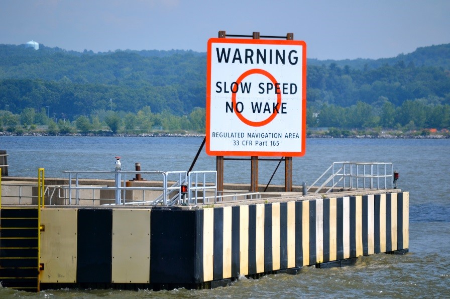
The RNAs stretch 500 yards north and 500 yards south of the existing bridge. Boaters are urged to transit the main channel with no wake at a maximum speed of five knots, and to use extreme caution on the river at all times.
Boater safety is a top priority for the project team and its local, state and federal partners. Precise regulations and information can be found in the U.S. Coast Guard Notice to Mariners. Excerpts pertaining to the New NY Bridge project – including the latitude and longitude coordinates of equipment moorings and buoys – are updated regularly and can be found here.
The project team will continue to collaborate with the Coast Guard as the New NY Bridge rises out of the Hudson. More New NY Bridge boater safety information, including construction site maps, can be found on the New NY Bridge project website Boater Safety Page.